Doubling Point Lighthouse
Arrowsic, Maine
Click here for a gallery of Doubling Point Light photos on SmugMug (prints and gift items available)
|
Location: Arrowsic Island, Kennebec River
Coordinates: 43 52 57 N 69 48 25 W View Doubling Point Lighthouse in a larger map Previous lighthouse: Squirrel Point Light
Next lighthouse: Doubling Point (Kennebec River) Range Lights |
Active U.S. Coast Guard aid to navigation. Owned and maintained by: Friends of Doubling Point Light.
Accessibility: There is limited parking (2 or 3 cars) at the light station. The grounds are open to the public, but the lighthouse and keeper's house are not. The lighthouse can also be seen from sightseeing cruises in the area. Click here for directions to the lighthouse
Station established: 1898
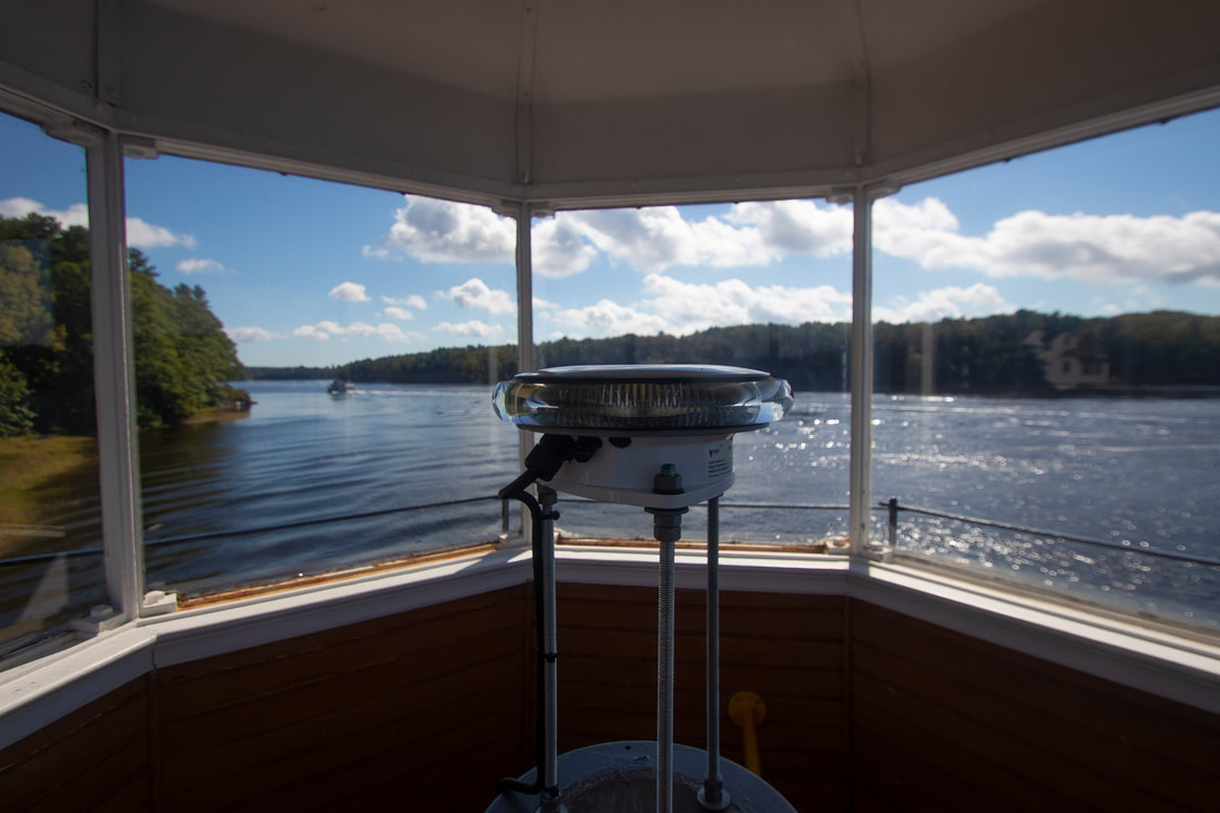
Present lighthouse built: 1898 Automated: 1988 Construction material: Wood with granite foundation Other buildings still standing: 1898 keeper's house, 1898 fog bell tower, oil house, storage building |
Height of tower: 23 feet
Height of focal plane: 23 feet Original optic: Fifth-order Fresnel lens Present optic: VLB-44 (LED) (2017) (below) Characteristic: Flashing white every four seconds |
