Cape Elizabeth Light (Cape Elizabeth Two Lights)
Cape Elizabeth, Maine
More information: History / Photos / Bibliography / Postcards
Click here for a gallery of Cape Elizabeth Light photos at Smugmug (prints and gift items available)
|
Location: Southern border of Casco Bay
Coordinates: 43 33 56 N 70 12 00 W View Cape Elizabeth Lighthouse in a larger map Previous lighthouse (south to north): Wood Island Light
Next lighthouse (south to north): Portland Head Light Active U.S. Coast Guard aid to navigation. The lighthouse tower is licensed to the American Lighthouse Foundation.
Accessibility: The keeper's house is privately owned; the lighthouse and grounds are not open to the public. Views are available at the end of Two Lights Road (turn at the "Two Lights State Park" sign on Route 77, bear right at a fork in the road and follow to the end), but parking can be difficult in summer. |
Station established: 1828
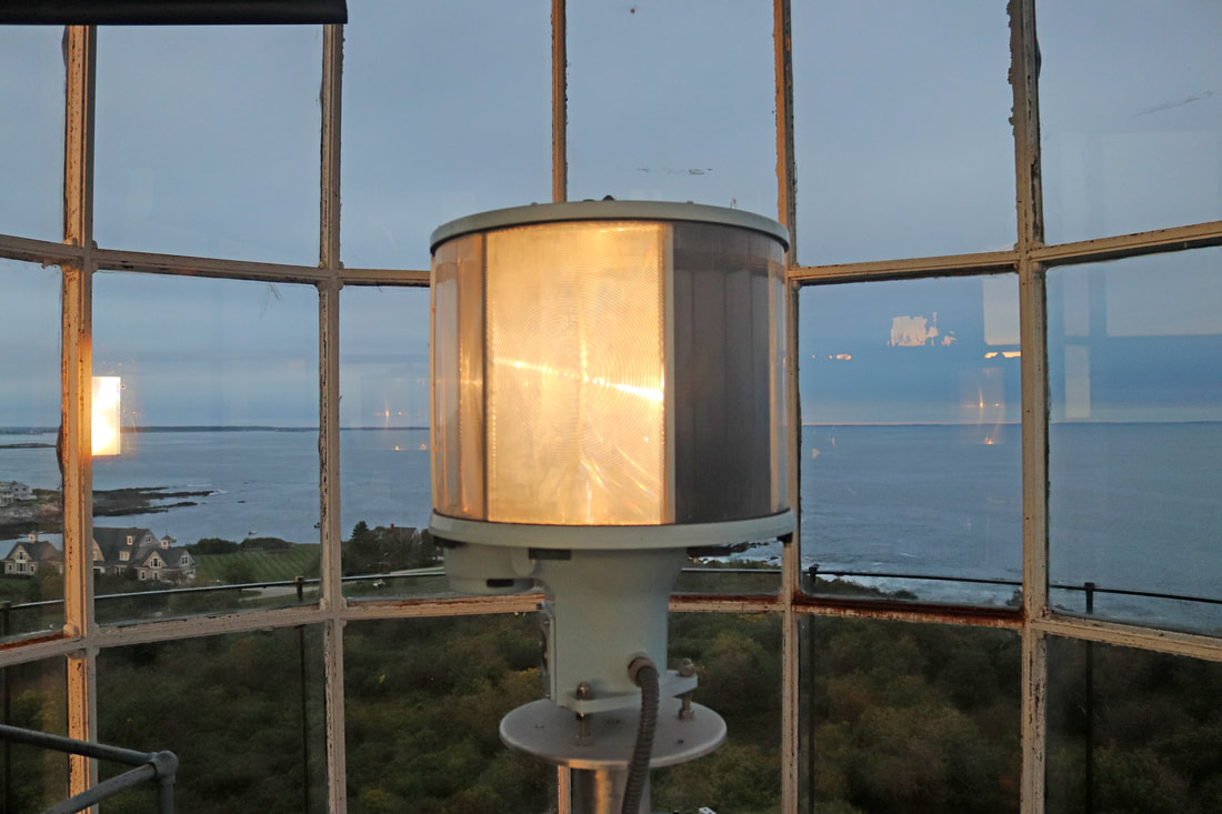
Present lighthouse built: 1874 Automated: 1963 Construction material: Cast iron Other buildings still standing: 1874 west lighthouse tower (discontinued 1924),1878 keeper's house (remodeled in 1999), 1886 fog signal building Height of tower: 67 feet Height of focal plane: 129 feet Earlier optic: Second-order Fresnel (1874) (now at the Maine Maritime Museum), now VRB-25 (below) Characteristic: Four white flashes every 15 seconds
Fog signal: Two blasts every 60 seconds (below)
|
|
